Environmental and Play Strategies
Providing local authorities with robust and up-to-date assessment of their needs, provision (quality, quantity and accessibility) and future requirements of publicly accessible open space - informing local plan policy and decision making in relation to open space provision.
Policy & planning support
As Local Planning Authorities respond to the climate, ecological and health emergencies, GI and nature-based solutions are increasingly recognised as vital in tackling these issues, due to the multiple functions and benefits for both people and wildlife that high quality GI provides.
Our GI Strategies provide a sound evidence base for planning policy and can inform or respond to related work such as open space assessments, parks and green space strategies and Local Nature Recovery Strategies (LNRS). We provide a robust and consistent approach in accordance with Natural England’s GI Standards Framework, and also work closely with our Local Planning Authority clients to tailor the outputs to the clients’ specific needs.
The Role of accurate GIS Mapping
Physical connectivity
Functional connectivity of habitats
Application of access standards
Habitat condition
Ecosystem service supply and demand
Tree canopy cover
Biodiversity net gain baseline assessment

Biodiversity Strategies and SPDs
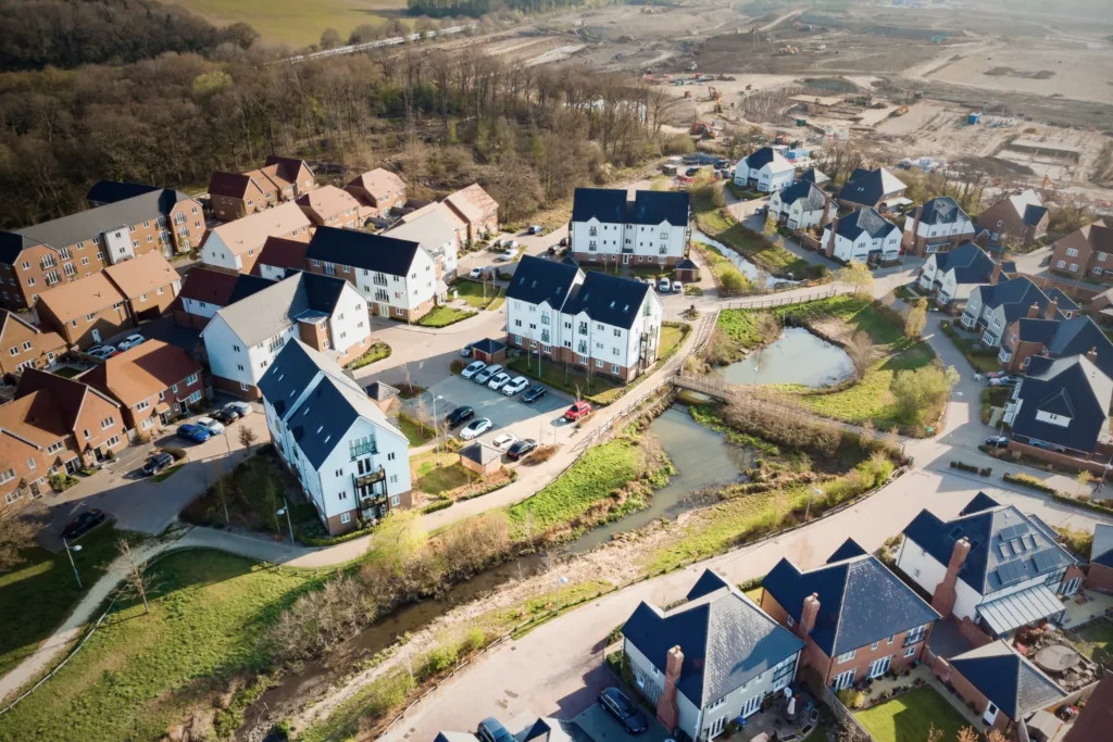
The Environment Act 2021 introduced mandatory biodiversity net gain requirements for new developments and strengthened the biodiversity duty on local authorities (to conserve and enhance biodiversity), with a legal requirement for biodiversity reports. The National Planning Policy Framework (NPPF) requires that local authorities identify, map and safeguard components of local wildlife-rich habitats and wider ecological networks through their Local Plans. They should also promote the conservation, restoration and enhancement of priority habitats, ecological networks and the protection and recovery of priority species; and identify and pursue opportunities for securing measurable net gains for biodiversity.
Many councils have also declared climate and nature emergencies, and have local targets regarding biodiversity protection and enhancement, within relevant strategy documents. Ethos can provide a range of technical assessments and strategies for biodiversity, including:
Biodiversity Strategies
Biodiversity Reports
Biodiversity Net Gain Supplementary Planning Documents
Biodiversity Net Gain Technical Analysis

Canopy Cover Analysis and Tree Strategies
Trees and woodlands can provide huge benefits for people, nature, climate and the economy. The Environment Act 2021 sets a framework for legally binding environmental targets which includes that by the end of 2050 at least 16.5% of all land in England is covered by woodland and trees outside woodland.
The NPPF highlights the importance of green infrastructure, including trees, in creating sustainable and healthy communities. Local planning authorities are required to plan for the protection and enhancement of trees and woodlands. Many local authorities have declared climate and nature emergencies and have their own policies, actions and targets related to increasing tree canopy cover, using the ‘right tree, right place, right reason’ principle.
Canopy Cover Analysis
In order to achieve canopy cover targets and also set local targets, an accurate assessment of the existing baseline canopy cover is an essential first step. Ethos’s methodology utilises the latest Aerial Photography of Great Britain (APGB) to produce a highly accurate spatial tree canopy cover dataset which can be updated every 3 years. This has benefits over and above other available tree canopy cover datasets, which often have limitations such as long time periods between updates, use of lower resolution data, or a lack of spatial data.