
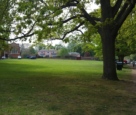
Open space assessments
Members of our team have built up a national profile in this area, providing expert advice to developers and local authorities. We have worked on over 50 open space studies across the UK from core cities (e.g. Bristol, Sheffield and Newcastle) to large rural areas (e.g. County Durham, Wiltshire and Wealden). We have successfully defended work we have produced at appeals, and been successful in challenging authorities where their standards are not in line with national policy.
Ethos has an in house GIS development consultant, and we have developed a number of bespoke GIS toolkits which enable us to collate and analyse the provision of open space. These toolkits combine the use of phones/tablets to collect field data and the synchronisation of this with office based GIS maps which can be shared with clients online.
Our team includes green flag judges, parks professionals and ecologists providing a holistic approach to open space assessment. Ethos have surveyed well over 10,000 open spaces in recent years.

Green Infrastructure Strategies
Building on our expertise in open space planning, we have also developed several green infrastructure strategies for local authorities across the UK. Our expertise in spatial planning and the development of a bespoke GIS toolkit has ensured our strategies are leading the way in quality and robust analysis.
Green Space Management
Our experience in this area includes preparing parks management plans, developing grounds maintenance specifications, quality assessments and reviews for open spaces. We have two green flag judges on our team and a wealth of experience in green space from both a management perspective and practical hands on experience.
Rights of Way
Ethos have undertaken a range of projects related to public rights of way, including condition and infrastructure surveys, interpretation strategies, capital and maintenance plans and rights of way improvement plans. The use of GIS mapping to gather, analyse and present this data has been central to our approach to this work.
GIS Mapping
GIS and spatial planning is core to our methodology for collating and analysing open space and ecological survey data. The use of GIS ensures surveys are planned and executed efficiently, results are recorded accurately and recommendations are presented in a clear and concise manner with the use of visual maps.